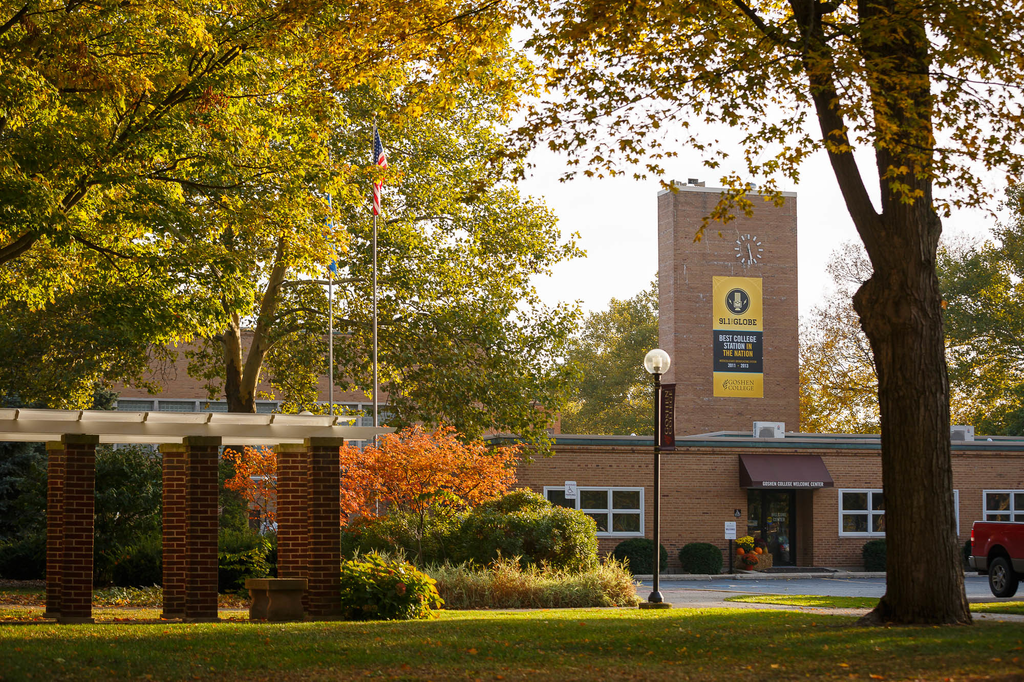
By Karen and Duane Sherer Stoltzfus
Peru SST Co-Directors, 2014-2015
Knowing how brutish rush hour can be in Lima and knowing how far we had to drive to reach Caral, we left early on a Thursday morning — so early that when we entered the roundabout Ovalo Guttierez at 6:15, there were only four other cars circling with our bus.
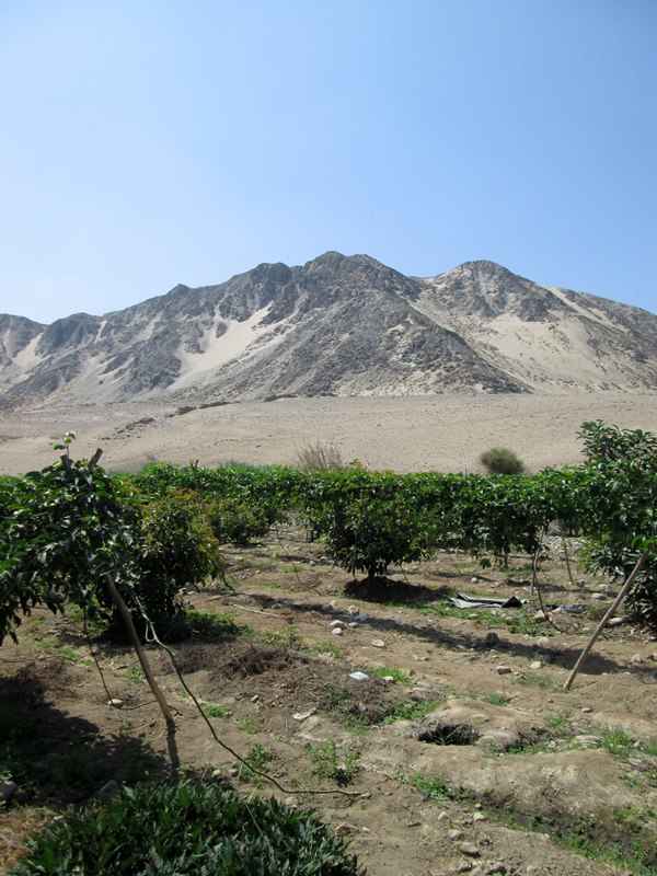
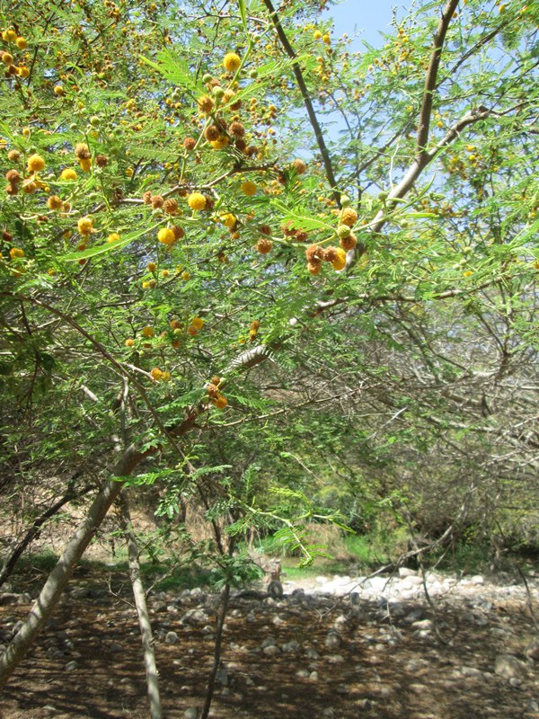
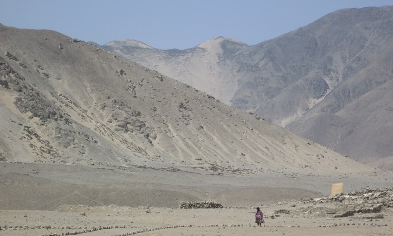
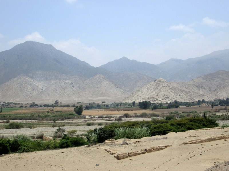
While making our way to the archaeological site of Caral, we pass many fields.
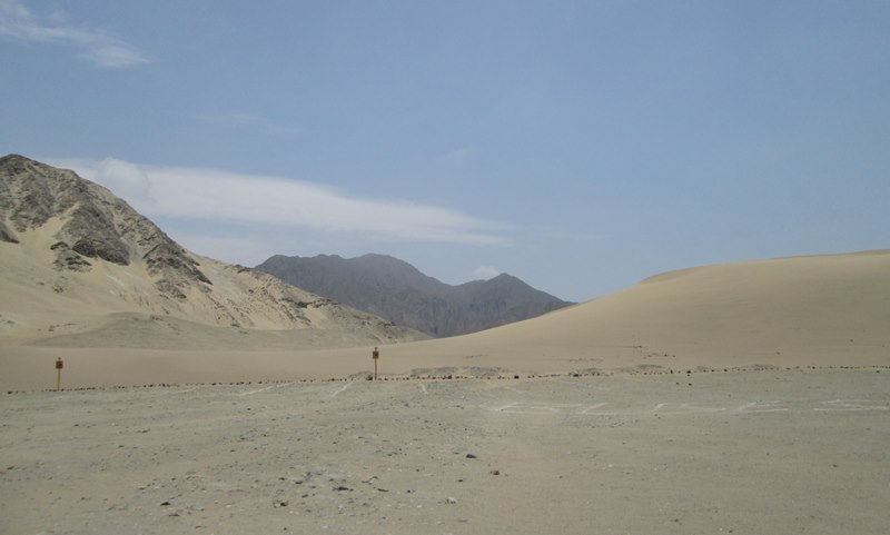
We drove away from Lima, headed north on a highway that hugs the coastline, the Pacific to our left and steeply banked sand dunes to our right, making great time.
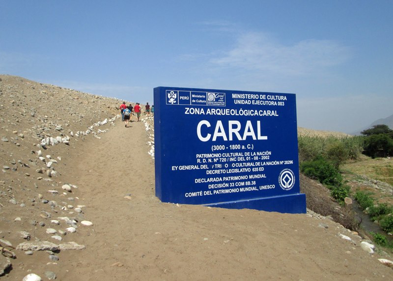
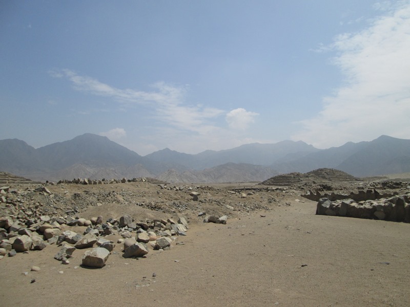
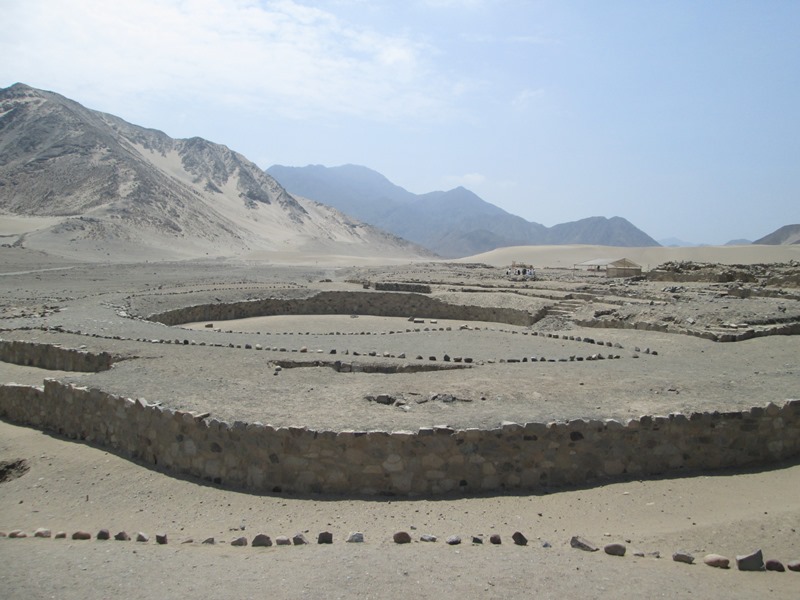
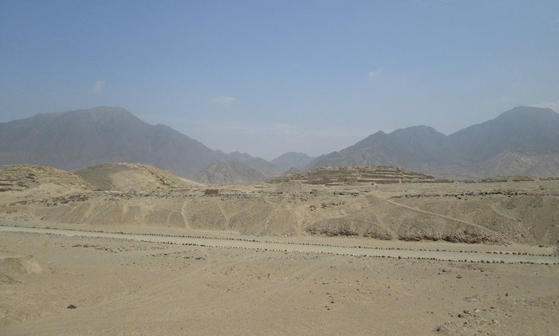
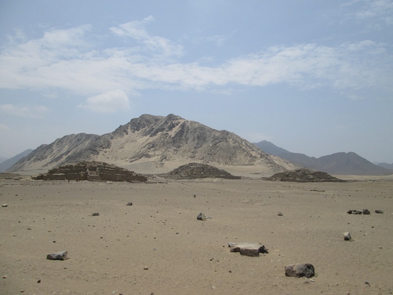
We reached one of the most celebrated archaeological sites in the world, Caral, the oldest city in the Americas, in about three hours. Caral flourished for more than five centuries, beginning around 2600 B.C.
For all of its archaeological allure — we watched a BBC documentary earlier in the week, which described a civilization as old as the pyramids of Egypt, and where the absence of weapons and the presence of pyramids and canals suggests a highly structured society devoted to peace — Caral is a work in progress, reached by dirt roads, kept company by humble neighbors.
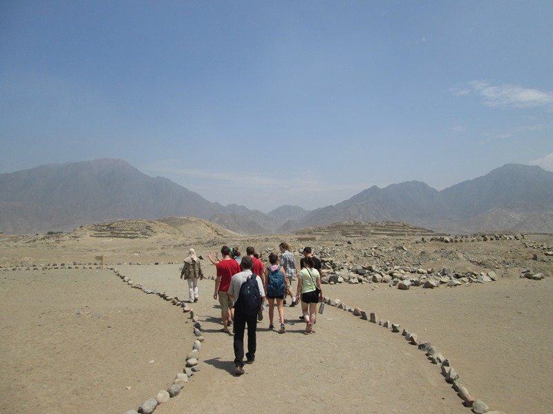
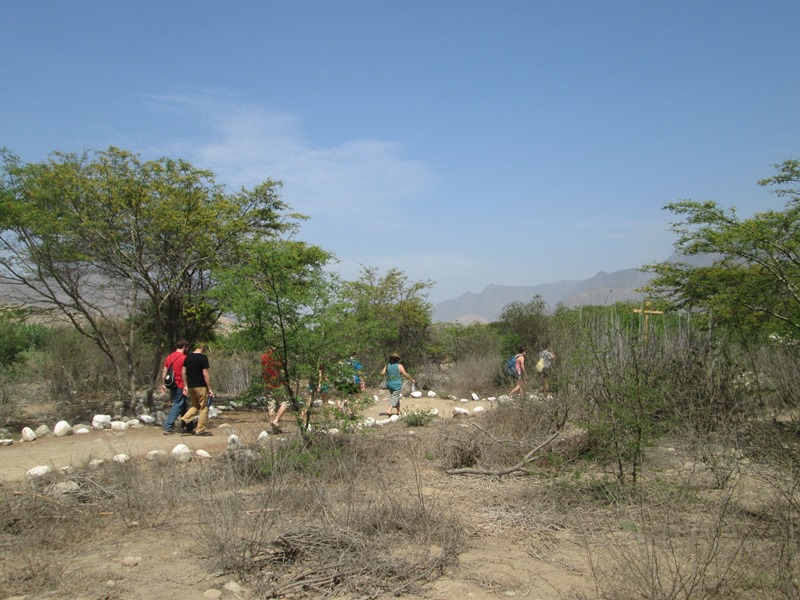
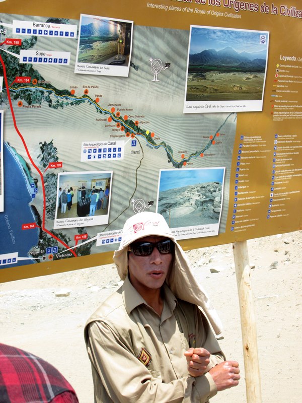
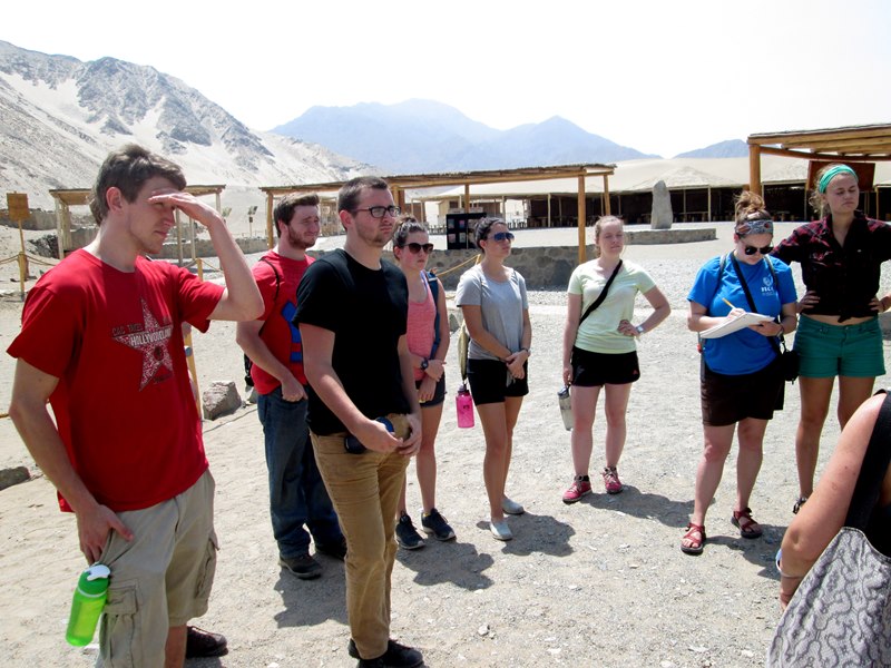
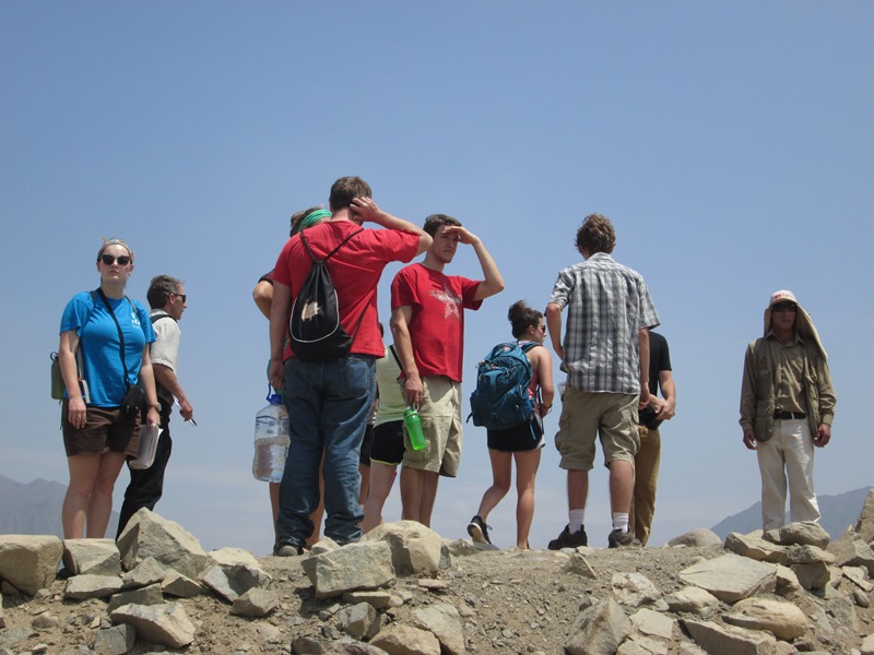
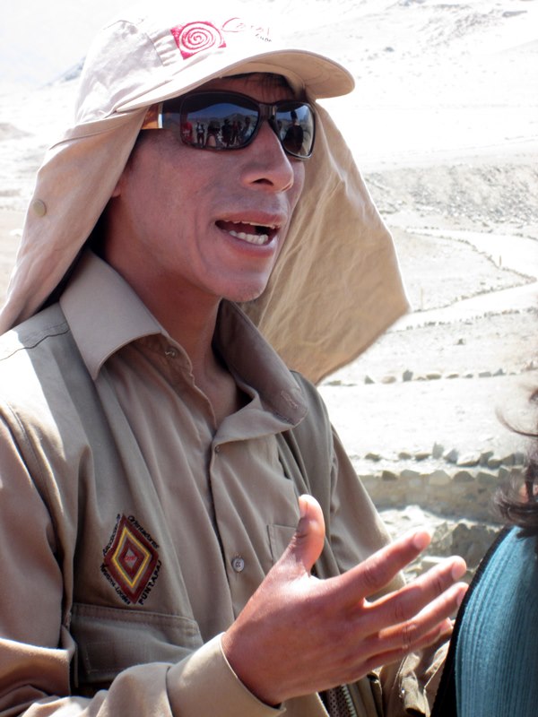
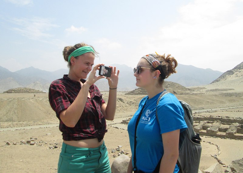
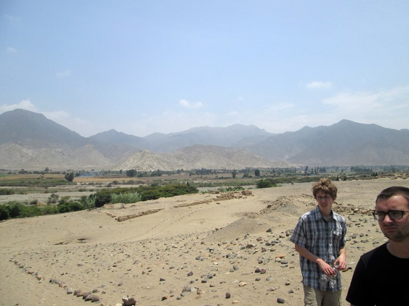
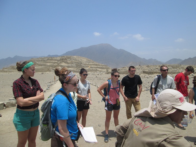
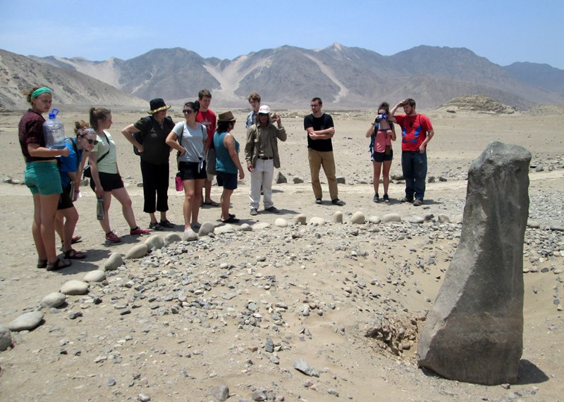
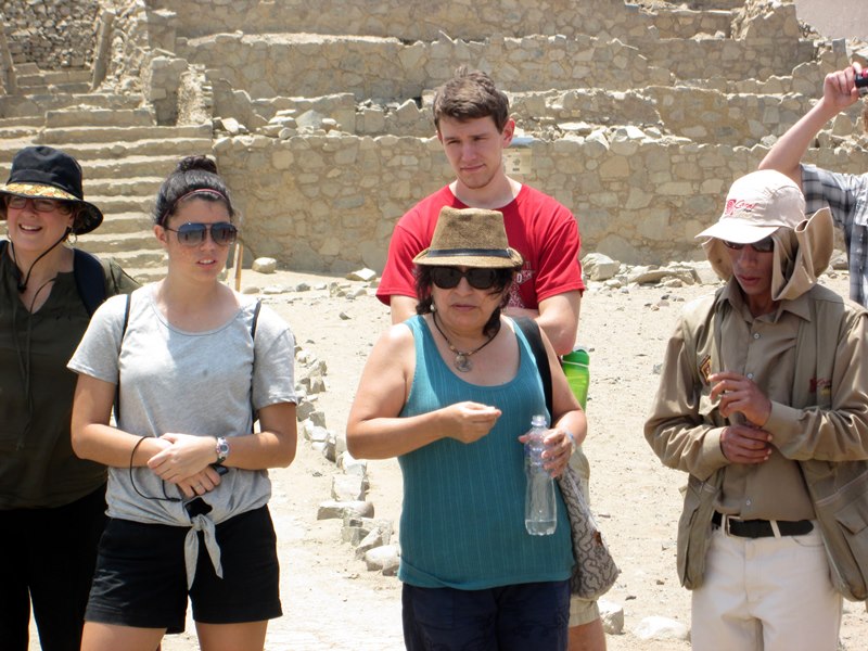
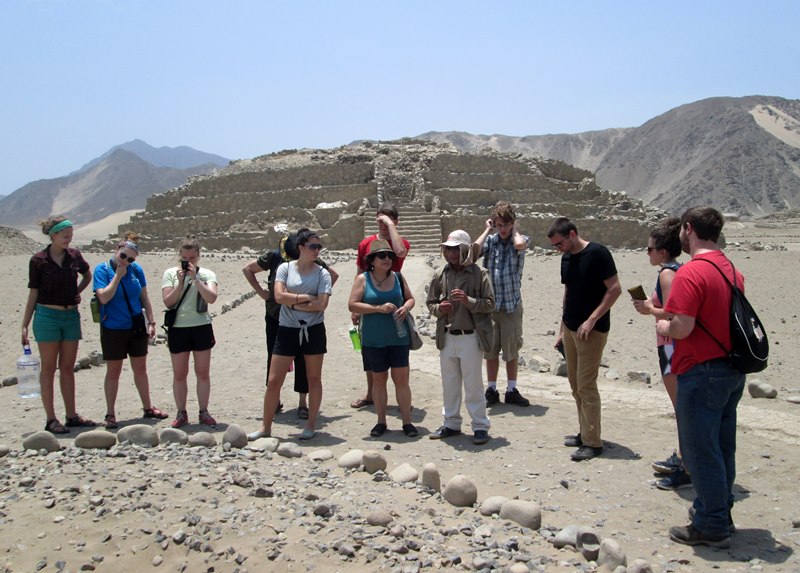
One of those neighbors, a young man named River, served as our tour guide. We felt fortunate to be able to tour the site without throngs of tourists, as will surely be the case next week, when we visit Machu Picchu. Except for a couple of workers using wheelbarrows to haul stones and dirt, and a tourist party of three, we walked among the excavated ruins, having Caral to ourselves.
Starting our tour through the archaeological site of Caral.
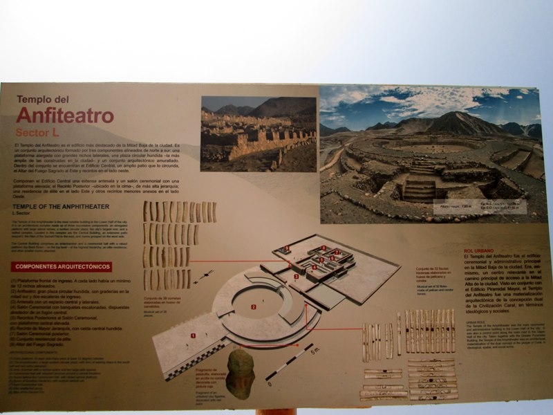
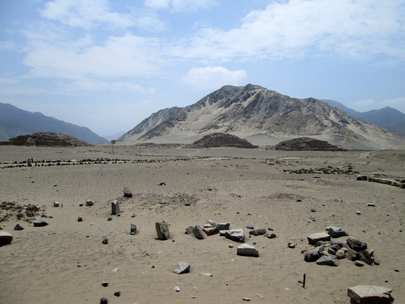
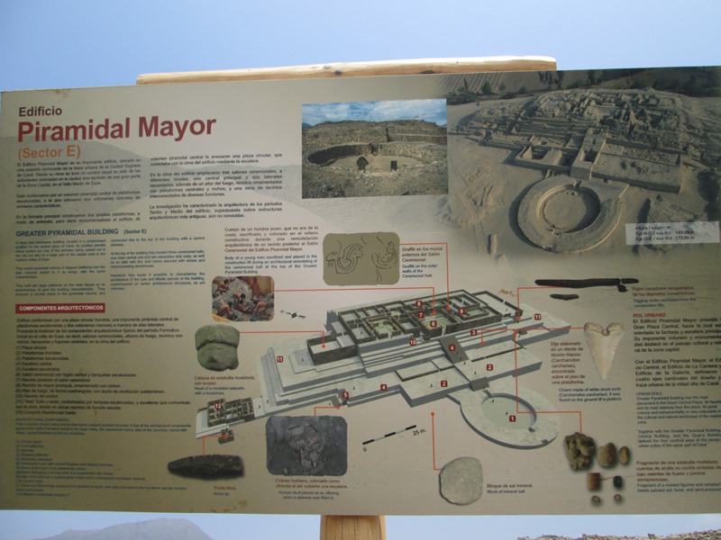
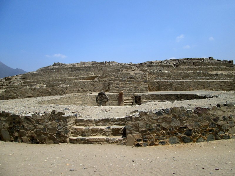
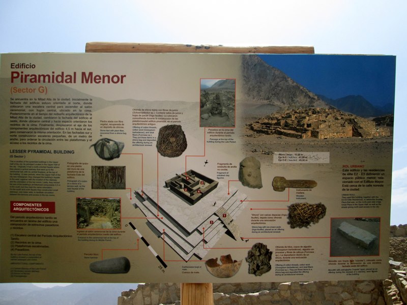
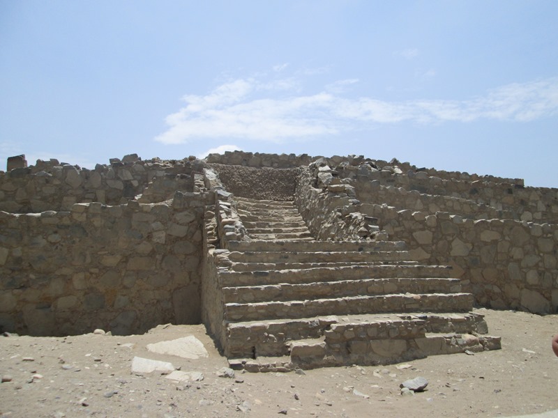
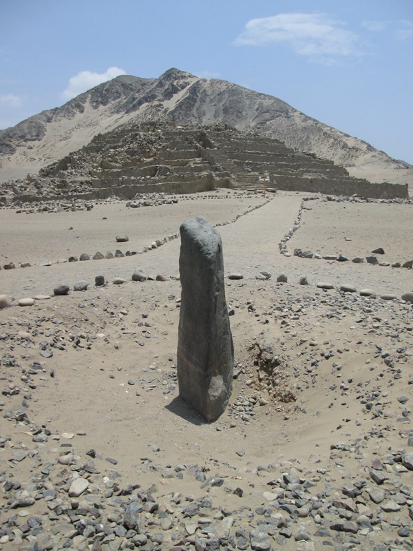
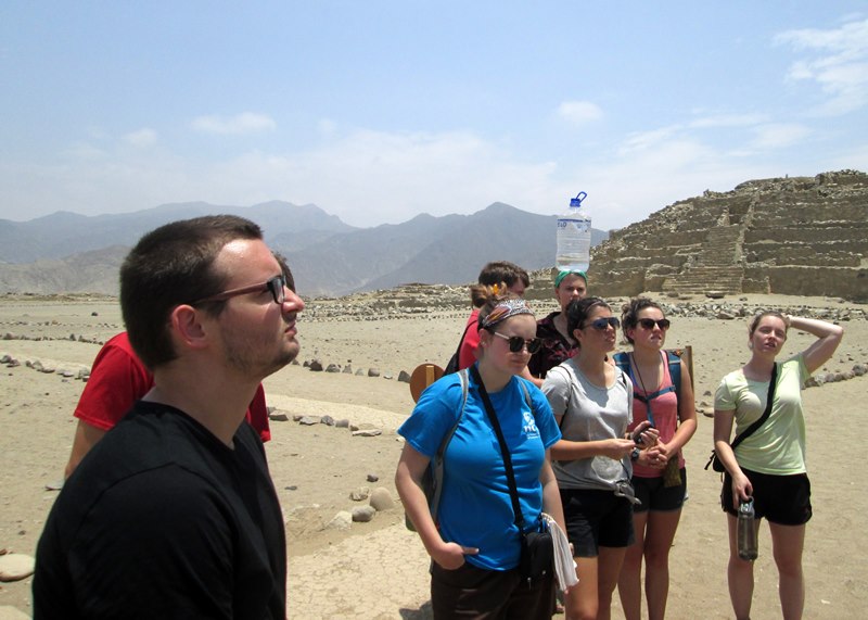
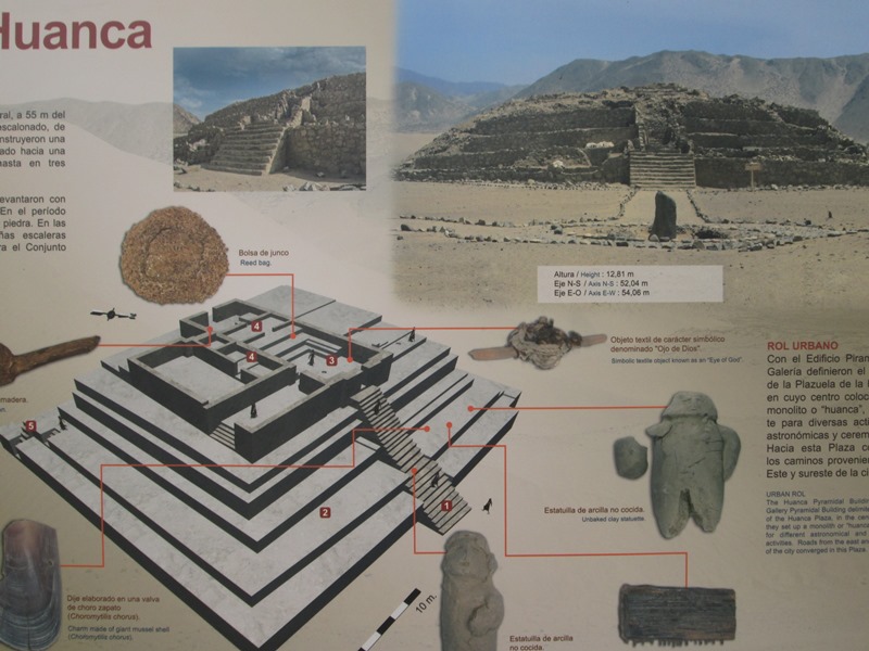
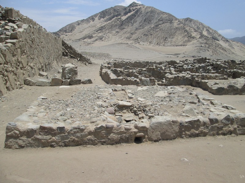
River told us that the excavation of Caral, which began in 1994, has uncovered 9 pyramids and 32 homes. He said 3,000 people once lived here. The pyramids were made of stone and a mud sealant from a nearby river (practically bone dry this time of year). The largest pyramid is about 91 feet high, with a base that covers an area the size of four football fields. At a place known as the Amphitheater Temple we heard that 32 flutes had been found, signs of a people who prized music.
Eventually, around 2100 BCE, Caral was abandoned – possibly because of drought. Its inhabitants apparently moved on to more fertile areas of country and perhaps founded other civilizations as they went.
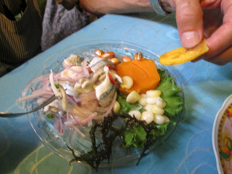
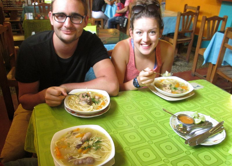
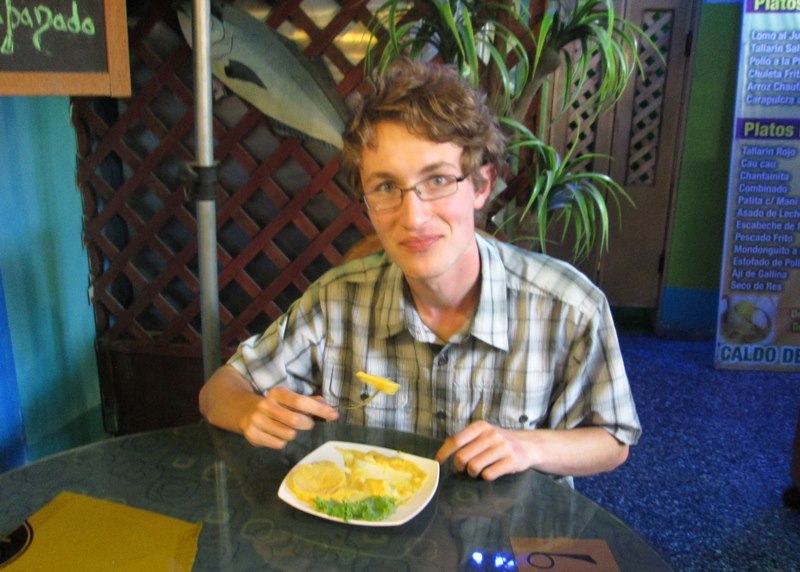
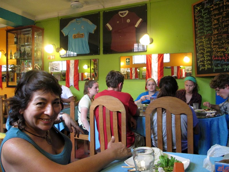
We left the area early in the afternoon, hoping to beat the evening rush-hour traffic, but it was not to be. A three-hour trip in the morning turned into a four-hour trip in the afternoon. The drive is part of the admission price for visiting this site on the World Heritage List of the United Nations. We did, however, enjoy a nice meal on the way home in the town of Chancay, close to the ocean.
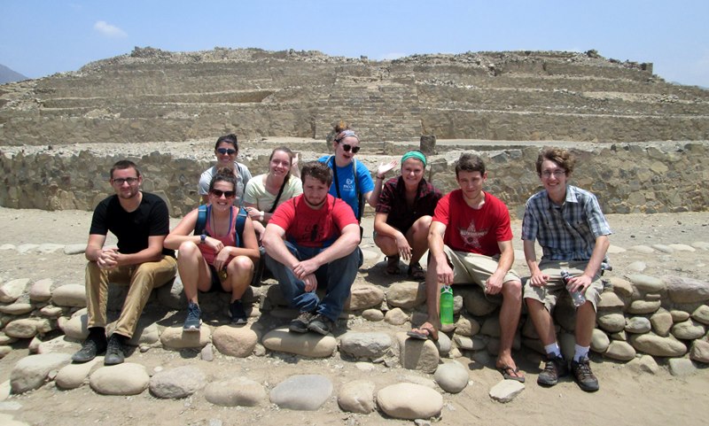
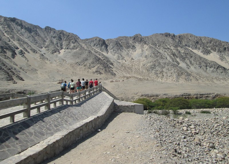
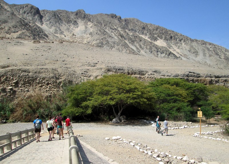
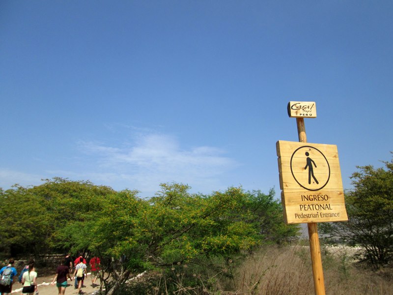
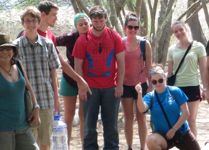
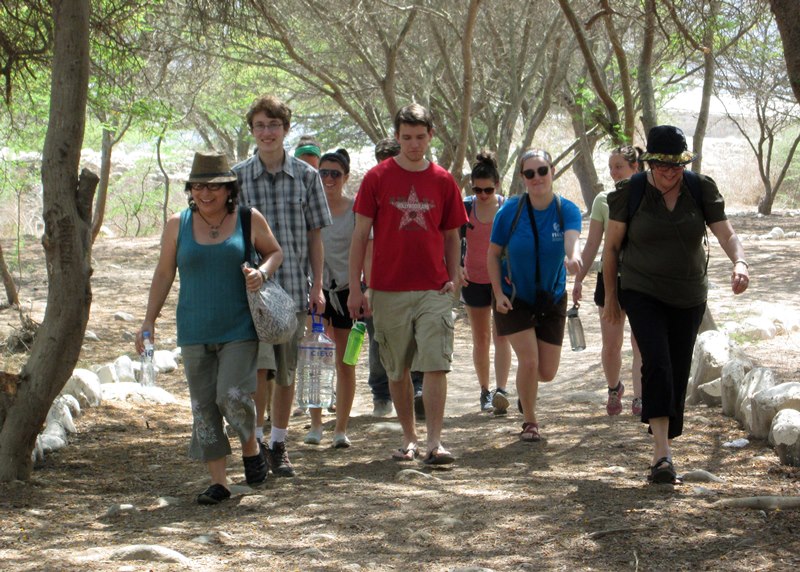
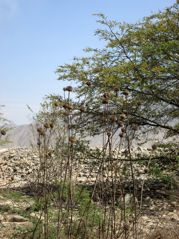
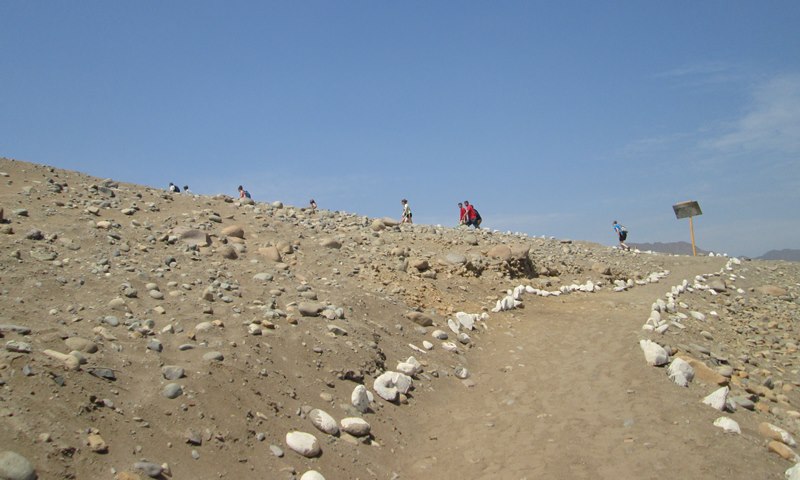
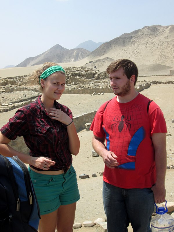
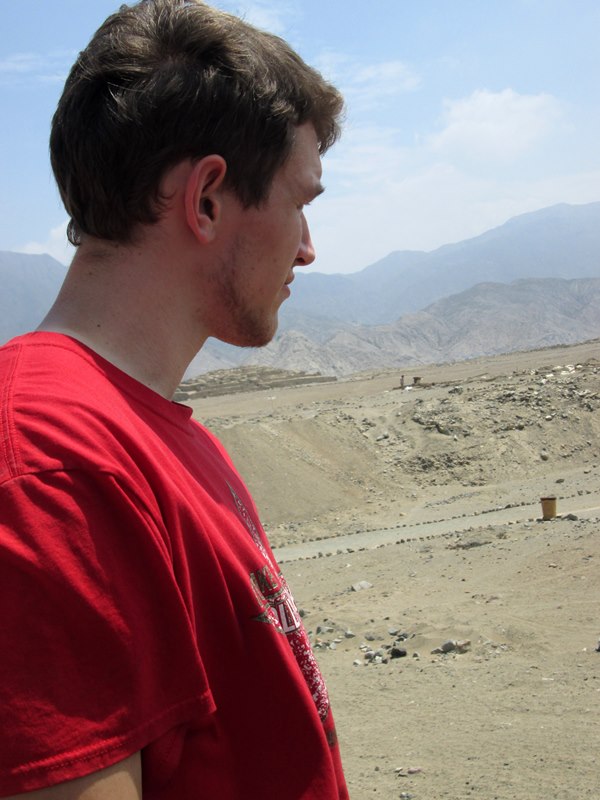
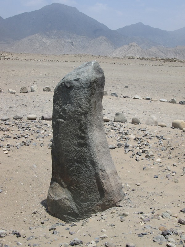
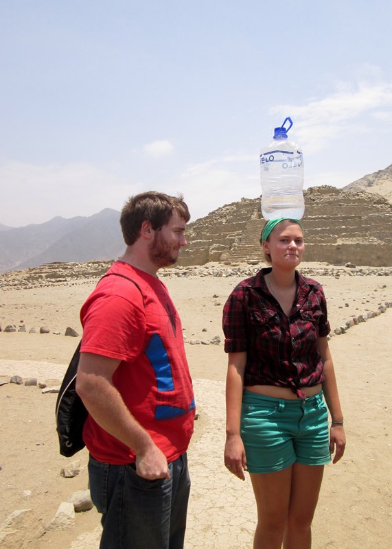
A group photo in front of the main pyramid.Walking across the bridge toward Caral.Students walk toward the woods that takes us to the Caral site.Entering the foot path that goes to Caral.Stopping for a photo along the way.Walking through a wooded area to get to Caral.Plants along the walk to Caral.A tree along the walk to Caral.Walking out of the woods into the hot sun.While making our way to the archaeological site of Caral, we pass many fields.An official sign marks the archaeological site of Caral.Students make their way up a sandy hill toward the entrance to Caral.First view of the ancient city of Caral.As we start our tour our guide, River, shows us a map of other area sites being excavated.We can already tell that it’s going to be a hot walk!Starting our tour through the archaeological site of Caral.It’s hard to imagine that 3,000 people may have lived here many years ago.Climbing up rocks to get a better view.Overlooking the amphitheater in Caral.Our guide, River, answers a question.Joanna and Ammon in conversation.Micah takes in the view.A local woman makes her way across the Caral archaeological site.Still an active dig site, not all the pyramids have been excavated.Joanna takes a photo of Elizabeth.The amphitheater is where the 26 flutes were found, made of condor and pelican bones, radiocarbon dated to 2170 BCE.A sign gives more information about the main pyramid.The circular space in front of the main pyramid, which measures about 150 meters long, 110 meters wide and 28 meters high. Students pose for a group photo in front of the main pyramid.Looking toward the green valley of the Supe river.Christian and Ike taking in the site near the Supe river, which is quite dry this time of year.A sign gives more information about the lesser pyramid.A section of the lesser pyramid at Caral (Pirámide Menor).Lots to take in!La huanca rock in front of the pyrimid of the same name.Talking with our guide.The Huanca Pyramid, named for the nearby huanca stone, holds three rooms atop its 12.8 meter summit. These rooms may have been used for astronomical and ceremonial purposes.The 2.15 meter high huanca stone, whose edges are oriented to the cardinal directions, looks like a seal from one angle.Ammon and Joanna take charge of carrying water.Time to get out of the sun!The signs show us what the pyramids may have looked like inside.An area where cooking took place.A large dune of sand along the empty parking lot in Caral.A serving of ceviche in Chancay.Ike and Lea start out their meal with soup.Christian digs into a serving of Papa a la Huancaina.Celia and students enjoying their meal in Chancay.